200529 August 2005 · Lower Ninth Ward, New Orleans
Hurricane Katrina and the New Orleans levee failures

Katrina's storm surge broke through the levees and floodwalls protecting New Orleans in dozens of places, leaving about 80% of the city under water. More than 1,300 people died across the Gulf Coast, most of them in Louisiana, and hundreds of thousands were displaced. The slow federal response, and the toll on poor and Black neighbourhoods such as the Lower Ninth Ward, became a national reckoning.
Sites
- Site 1: Industrial Canal floodwall, Lower Ninth WardRebuilt floodwall beside a neighbourhood of empty lots and new raised homes.Map ↗
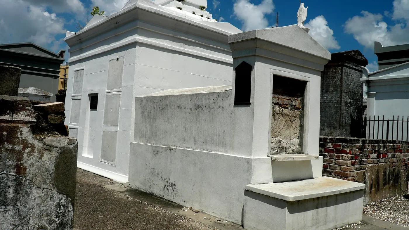
- Site 2: Hurricane Katrina Memorial, Canal StreetSpiral memorial with tombs for victims who were never identified or claimed.Map ↗
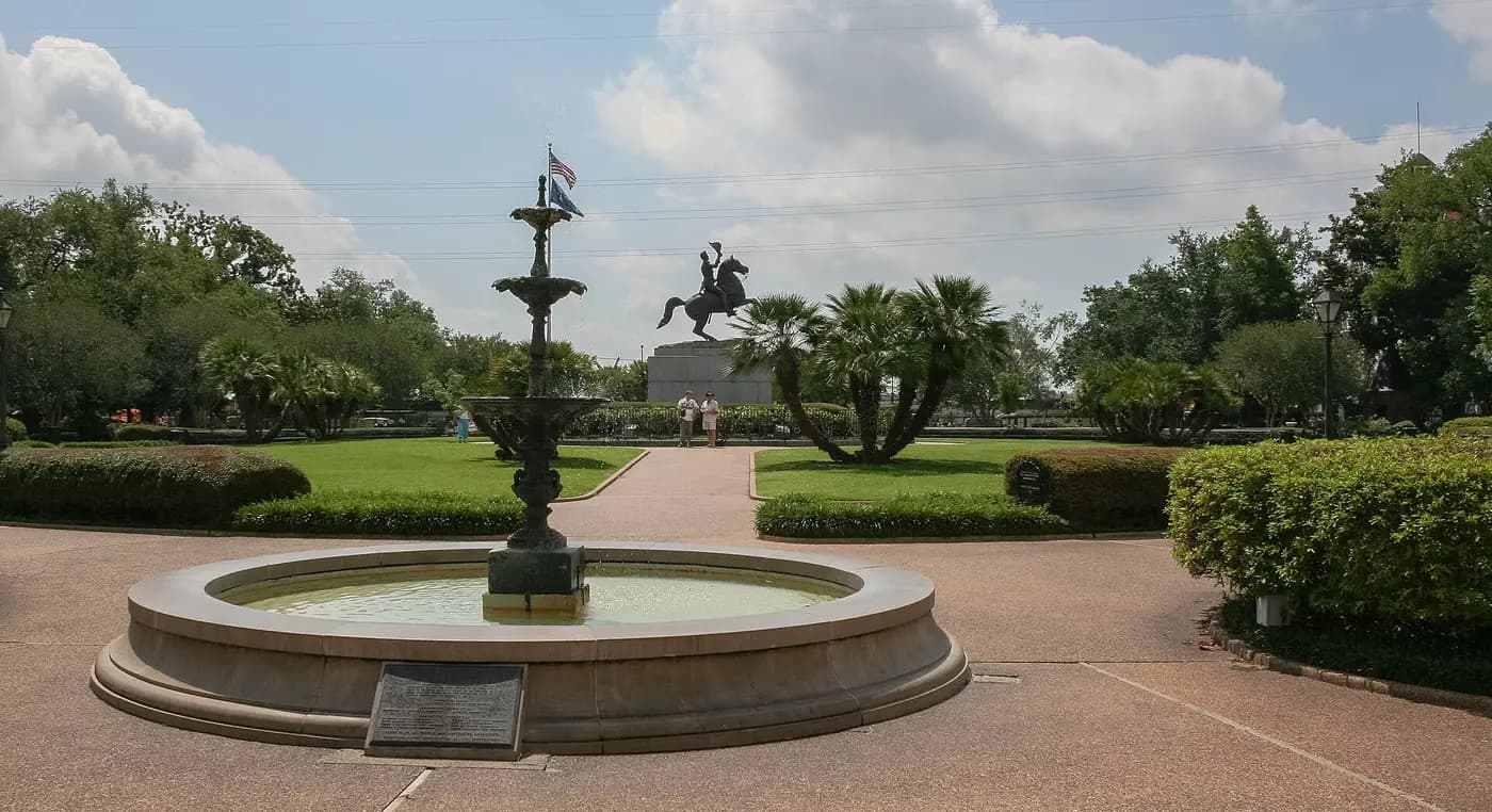
- Site 3: The Presbytère, Jackson SquareLouisiana State Museum exhibition on Katrina and the city's recovery.Map ↗
Guides who take you there
History-only · order never for saleWe haven't found an independent history guide for this yet. Guide here? Tell us about your tours.
Also in New Orleans
More from the Modern History

Read more: reference. Summary written by History-Tours.com.